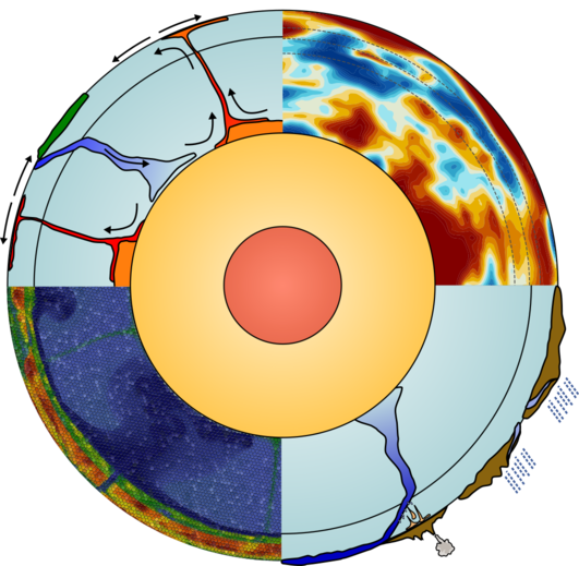
Integrated Geodynamic Earth Models
This is the project website for the NSF-sponsored project “Collaborative Research: Development and Application of a Framework for Integrated Geodynamic Earth Models”.

Goals
Mission: To create three-dimensional, integrated geodynamic reference models for the Earth above the core-mantle boundary, that can then be used for the accurate forward simulation of the Earth state on time scales of millions of years.
Vision: For decades, Earth scientists have dreamed of building computational simulators that can predict the motion of material inside and on the surface of Earth on long time scales. To realize this dream, we need to have an accurate characterization of Earth’s state today, including its temperature state, its chemical composition, and other quantities such as concentrations of volatiles and melt fractions as well as grain sizes. None of these quantities are directly measurable in most of the Earth, but by integrating the many data sources available today (e.g., from tomography models, gravity data, MT data, and geochemical information), we can start to build such a reference model. This project is about exactly this: To build and disseminate such reference models, use them for simulations in the mantle convection code ASPECT, and couple them to simulators of surface processes.
A longer description: You can find a more extensive description here.
Posts
-
Remote Rendering Setup
-
A quick introduction to performance testing
-
Videos and Interactive Visualization Tests
-
Starting Earth Models
-
Scaling parallel IO in ASPECT
-
Sampling AMR data, storing, and rendering it
-
Welcome
subscribe via RSS